 1 of 1
- RadioActive
- Moderator
 Offline
Does This Mean It's Going To Be A Good Night For Tropo?
I stumbled across this article from a Cleveland TV station, in which their meteorologist tries to explain to the layman how the weather can affect what they hear on radio and see on TV.
At the end of the story, he adds this about Monday:
"With a warm surge incoming Monday, the warmth arrives faster above ground than it does at ground level. That means the air above us is warmer (which is also denser), causing any TV or radio waves to bend back to the ground instead of freely escaping into space. This process repeats for dozens, if not hundreds of miles, wherever the inversion is present, which is expected to be in place for much of Northern Ohio, as well as all the way to Michigan and eastern Indiana."
If Michigan is expecting good DX, we're not really all that far away. Will it happen here as well?
How changing conditions impact what you see and hear
- turkeytop
- Member
Offline

Re: Does This Mean It's Going To Be A Good Night For Tropo?
Now that we no longer have weather radio in Canada, I can DX the NOAA stations. My scanner no longer locks in to our local channel.
After all is said and done, more is usually said than done.
- Scarboroughbluffsradiof99
- Member
Offline
Re: Does This Mean It's Going To Be A Good Night For Tropo?
Were not getting much of a warmspell this week, so no luck dxing in toronto.
- Fitz
- Member
Offline
Re: Does This Mean It's Going To Be A Good Night For Tropo?
This pattern might have hit our region this morning. I was getting 3 TV stations from Pennsylvania including this one, very briefly from Wilkes Barre Did not rescan, they were coming in on frequencies I had previously scanned: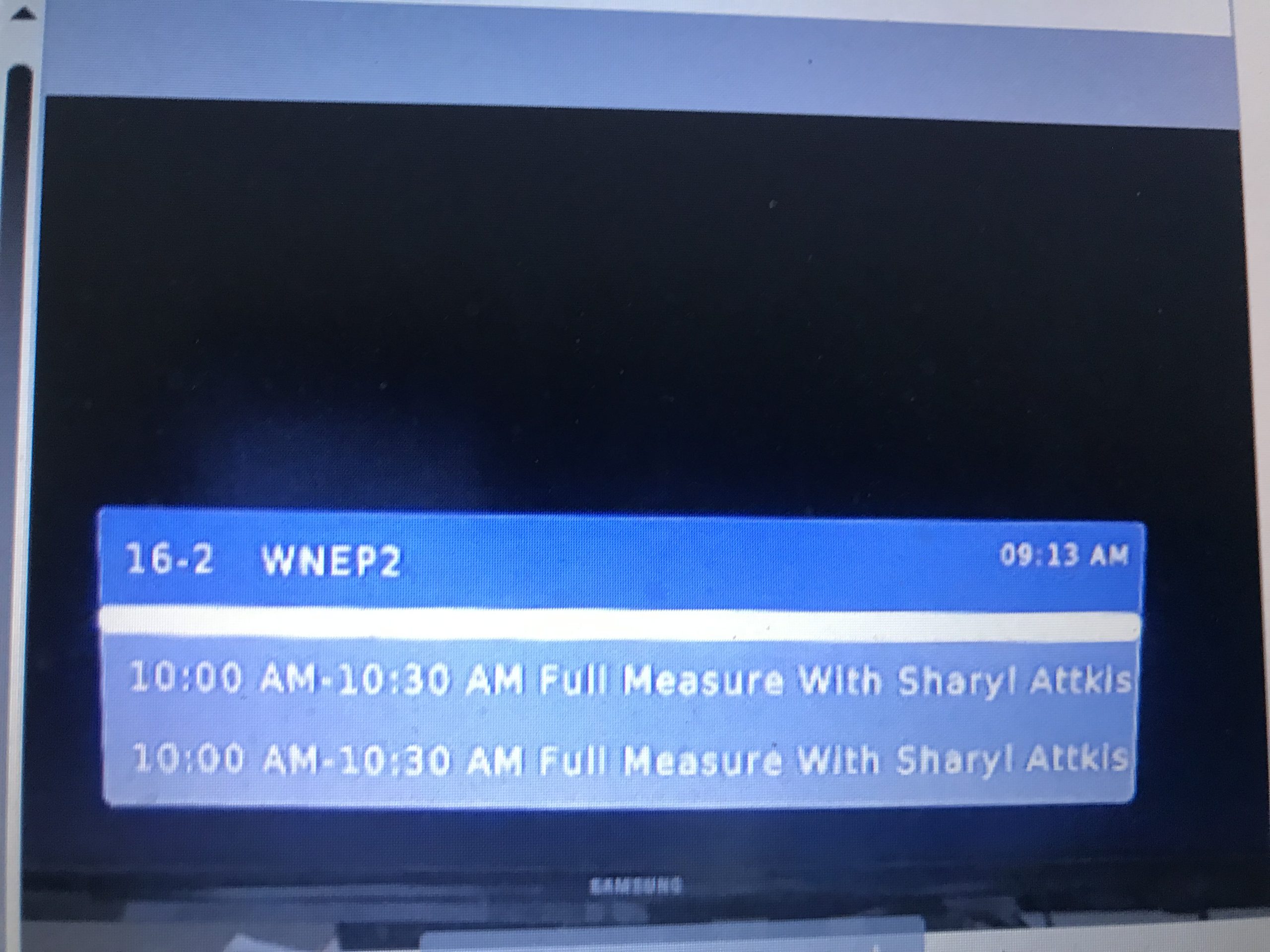
Last edited by Fitz (Yesterday 9:52 am)
Cool Airchecks and More: